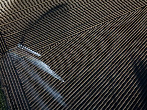
Water, an essential resource for agriculture, managed and closely monitored from space
- July 9, 2021
- Category: News
State Wide Coverage of Subsidence information
California is drawing its ground water faster than it is being replaced leading to excessive subsidence. DWR (Department of Water Resources) has to manage and police use of ground water but good information was lacking.
InSAR Mapping of California
The TRE Altamira, a CLS subsidiary, solution is a state wide map of subsidence using space radar data. The client chose TRE Altamira due to our ability to map large areas with INSAR technology. We were chosen on technical merit.
Client now has information from all parts of the state. Prior to our solution the client relied on about 900 GPS points over the state. Our solution provides 5,000,000 points so hugely increases the quantity of information. Based on our work the client has expanded the service from an annual survey to quarterly updates.

California Dept of Water Resources
- Subsidence information for better ground water management
- Conforms to the SIGMA law – new law governing water extraction for agriculture
- Enables each of 120 water districts to better manage resources
