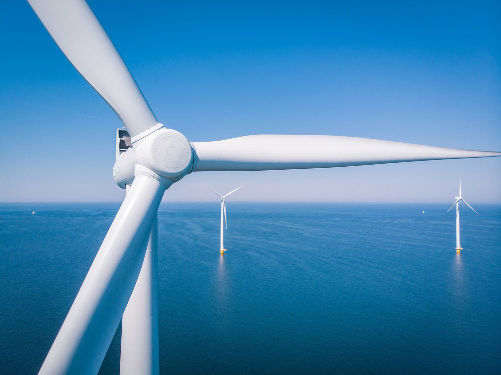
Offshore Wind Solutions: Powering the Energy Transition
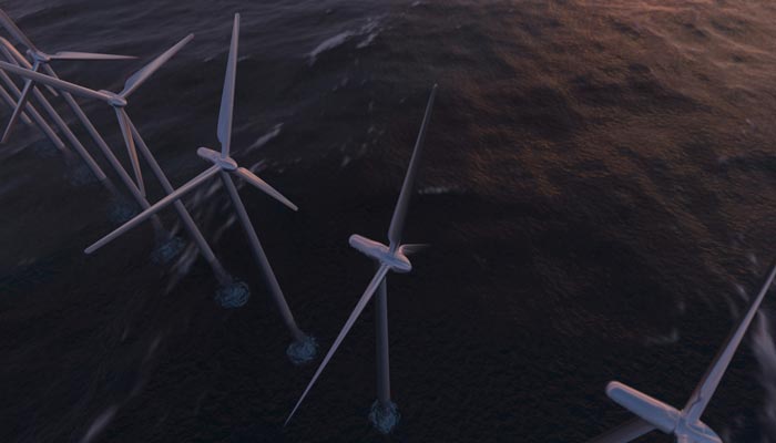
As the world accelerates its shift towards sustainable energy, CLS stands as a key partner in offshore wind development, driving the adoption of clean resources to combat climate change. With cutting-edge expertise and innovative solutions, CLS acts as a catalyst for change, empowering businesses to successfully navigate their transition to renewable energy.
Discover how our offshore wind solutions optimize resource assessment, enhance operational efficiency, and support a sustainable future.
20 years of offshore wind expertise, backed by 30 years of proven success in offshore projects
2024: DeepCLiDAR innovation: CLS establishes its DeepCLidar production facility in Cape Town to achieve self-sufficiency in its production capacity.
December 2023: First CLS floating DeepCLiDAR obtained Carbon Trust Certification.
April 2022: new contract for French floating wind with the French Ministry of Ecological Transition
October 2021: CLS acquires Meteodyn, an expert company in wind engineering (onshore & offshore), meteorology and climatology supporting internationally renewable energy, urban planning and wind safety since 2003.
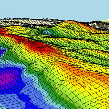
2017 – 2020: CARAVEL PROJECT Characterization of wind fields combining satellite & in-situ data Extrapolation of winds at 100 meters Wind variation & extreme values calculation to specify wind turbine
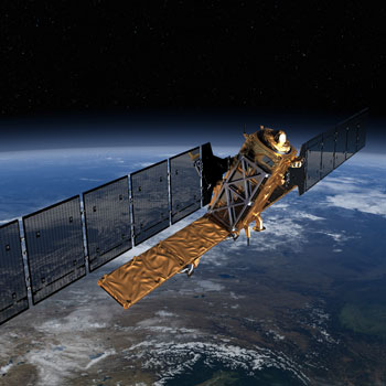
2012 – 2015: PROJET EERA – DTOC (FP7) PROJECT / European Energy Research Alliance Design Tools for Offshore wind farm Clusters Wind wave effect studies from SAR & comparison with insitu data
2008 – 2012: NORSEWIND PROJECT / Wind Atlas Northern Europe CLS & DTU (Denmark Technical University) have realized a wind Atlas based on Envisat SAR database
2009 – 2011: Wind Emulator for wave & Wind with TOTAL
2008 – 2012: SOMEMR PROJECT (CNES) / Metocean services for MRE
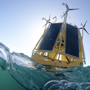
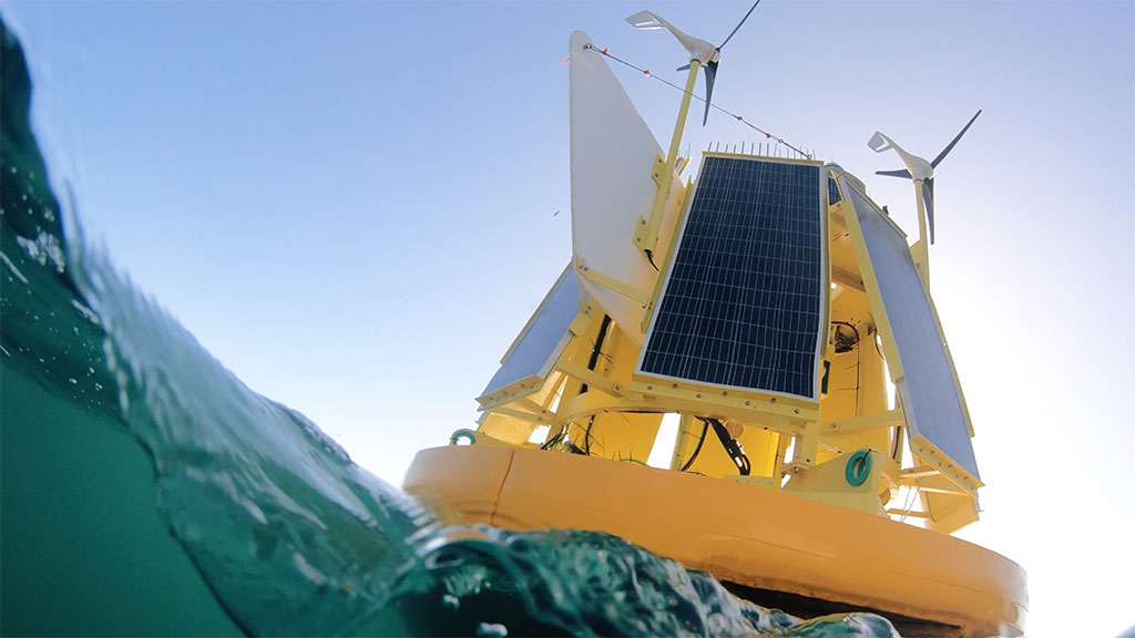
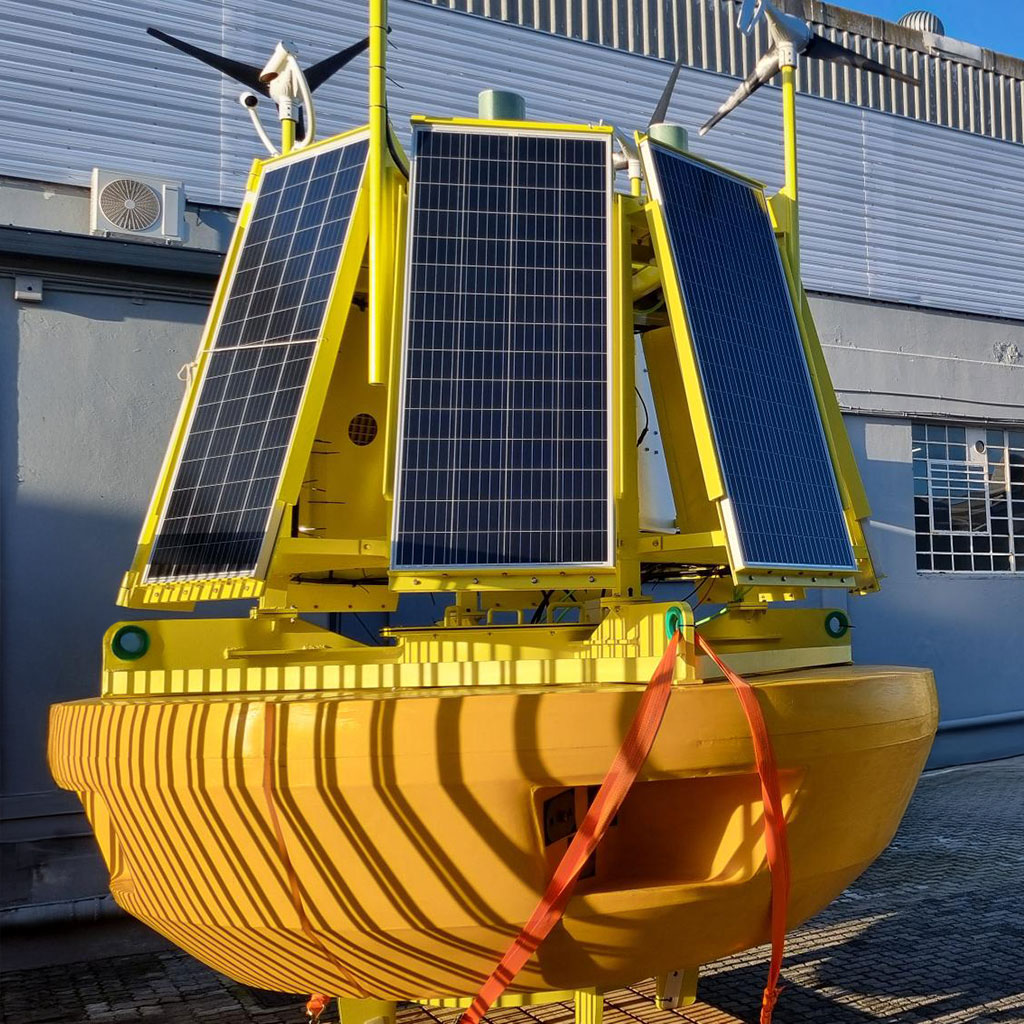
DeepCLidar
CLS DeepCLiDAR, developed by CLS in collaboration with the University of Maine, has achieved Carbon Trust Certification. This milestone positions CLS as a unique global provider of integrated solutions for the offshore wind industry, combining in-situ measurements, radar satellite data, and high-resolution modeling.
The system is specifically designed for offshore wind resource assessment and metocean site characterization, enabling precise measurement and monitoring.
We have embarked on an industrial mode, establishing our production facility in Cape Town, thereby achieving self-sufficiency in our production capacity.

Pioneering Wind Study Solutions Backed by Decades of Metocean and Maritime Expertise
Combining various technologies, CLS is a player offering a distinctive range of services—intelligent, relevant solutions with customized, tailored applications and qualified use cases, from maritime security (manage & prevent maritime events and activities impacting material safety) to environment monitoring (support environmental conservation and sustainable development policies)
Latest News
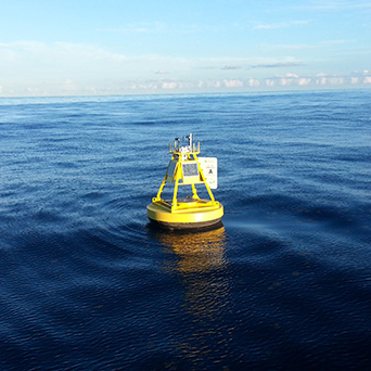
Consistent Results from DeepCLiDAR at South African site
Near a South African MPA, DeepCLiDAR gathered high-quality data for 7+ months in harsh wind conditions.
Unlocking Turbulence Intensity Accuracy in Offshore Wind with DeepCLiDAR
Improve turbulence intensity measurements in offshore wind with DeepCLiDAR. Unlock new accuracy for reliable resource assessments.
Wind Tech Innovations: Floating LiDAR as a Pillar of Sustainable Development
By Sidney Bilski, metocean expert with 25 years of experience, Head of Sales, Marketing & QHSE at CLS Southern Africa.
Discover the power of our solutions
Connect with our experts to explore how our cutting-edge technologies can help you overcome challenges and drive innovation.
Get in touch today!