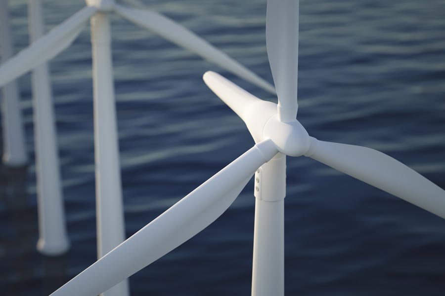
Major Milestone for Renewable Offshore Wind Energy
- August 6, 2024
- Category: News
With DeepCLiDAR Carbon Trust Certification, CLS becomes the only global provider of integrated in-situ, radar satellite, and high-resolution modeling wind solutions for the offshore wind industry.
This achievement allows CLS to offer to the wind industry a unique, comprehensive, and ultra-precise combined wind resource measurement and energy assessment solution.
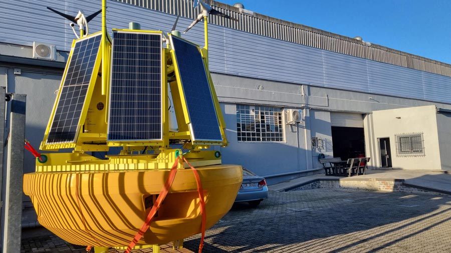
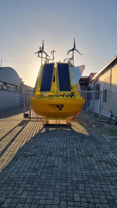
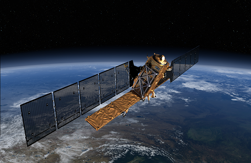
The integration of DeepCLiDAR innovation, extensive in-situ metocean data collection, satellite radar observations, data analysis, and high-resolution wind field modeling form the SARWind offering, creating a unique suite of services in offshore wind resource assessment.
Production Facility and Competitive Edge
CLS has ambitious plans, having established its DeepCLidar production facility in Cape Town to achieve self-sufficiency in its production capacity.
By offering a solution with the best technical features at the most competitive price, CLS not only cements its position as an industry pioneer but also reinforces its dedication to providing cost-effective, cutting-edge solutions for a sustainable future.
SARWind, a unique CLS’ solution and expertise for offshore wind assessment
SARWind, the CLS innovative synergy including satellite observations for all the stages of offshore projects, allows to significantly reduce cost of offshore assessment, provides high-definition data, all over a selected zone and is available before LiDAR buoy installation or in complement of measurement campaigns.
Strategic Global Presence and Expertise
With over 30 years of expertise in site-specific metocean data collection, led by internationally recognized specialists, CLS Group positions itself as a unique player in the industry.
With a presence across five continents, including Europe, the USA, South Africa, Australia, Brazil, and Indonesia, CLS’s strategic global footprint enables the delivery of efficient, agile, and sustainable wind resource assessment solutions.
Decentralized expeditions around the globe ensure flexibility in deployments while maintaining a commitment to sustainability.
Commitment to the Offshore Wind Community
Combining short-term LiDAR measurements with long-term satellite observations for offshore wind resource assessment constitutes the most comprehensive, innovative, and well-suited solution for accurate offshore wind measurement.
With experience of over 30 years in the offshore energy market, we now provide the offshore wind community with a unique and precise range of services, addressing the needs and challenges that we all face in this crucial phase of the transition towards decarbonized energy.
Today, we are ready to deploy our DeepCLiDAR buoys and SARWind services wherever our clients may need them, along with our other solutions that make us a reliable and experienced technical partner for offshore wind farm developments.